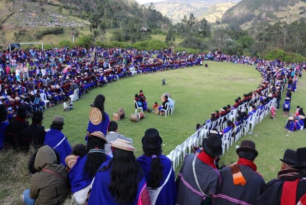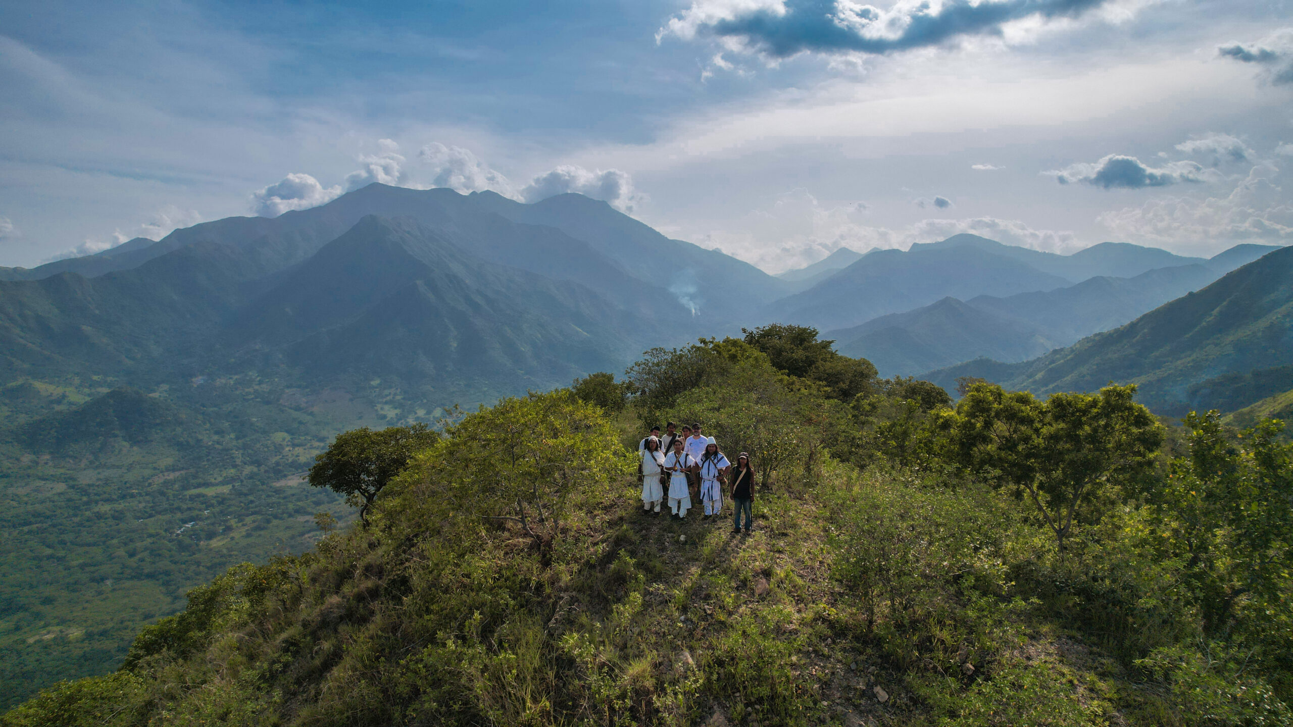

In Colombia, four Indigenous Peoples safeguard an ancestral territory of great importance to the cycles of life and biodiversity, honouring the mandate of Mother Earth, under the guidance of the mamos. The Arhuaco, Kogui, Kankuamo and Wiwa peoples, who have been confined to the mountains of the Sierra Nevada de Gonawindua since the time of the conquest of the Americas, are spearheading efforts to care for and restore harmony with nature in the region surrounding the world’s highest coastal mountain, in accordance with customary law, in the Colombian Caribbean. At the National Commission for Indigenous Territories (CNTI), we support this struggle and the defence of their territories, as well as similar efforts led by other communities across all regions of the country.
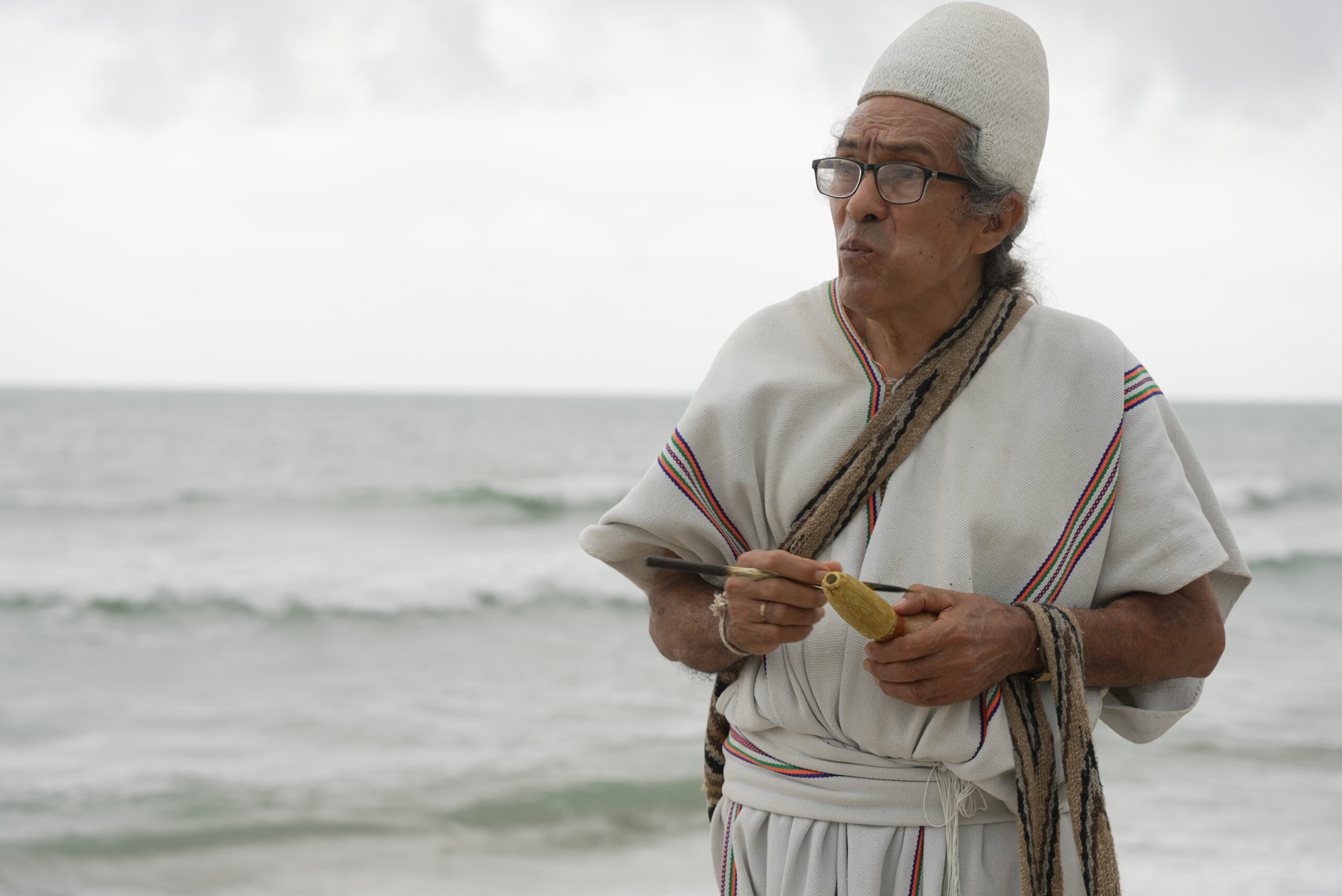
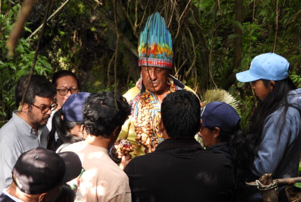
Caption: Mayor Vicente Villafañe, líder del pueblo Arhuaco. Credit: Archivo de la Comisión Nacional de Territorios Indígenas
The territory of the Black Line
One of the most emblematic cases of the defence of an ancestral territory in Colombia is that of the ‘Línea Negra’, an ancestral territory geographically bounded by the sacred sites of the four Indigenous Peoples who inhabit the Sierra Nevada de Gonawindua. In these sacred sites, knowledge and wisdom are embodied in the stones, the seas, the lagoons, the rivers and the mountains. Vicente Villafañe, Chief of the Arhuaco People and delegate of the Tayrona Indigenous Confederation to the CNTI, explains the purpose of demarcating the Línea Negra as follows:
“What is the purpose of the Black Line? To protect the sacred sites. To protect the heart of the world. Sacred sites are places where the Mamos make offerings, pay tribute to Mother Earth. It could be a stone, a tree, a stream… These are the places where they connect with our Mother Earth.”
Vicente Villafañe
Whilst the Black Line can be drawn on a map to delineate an area of approximately 1.7 million hectares, it cannot be regarded merely as a piece of land. The comprehensive protection of this ancestral territory safeguards the intrinsic connection between the spiritual leaders of the Arhuaco, Kogui, Kankuamo and Wiwa peoples and the spiritual world. There are more than 340 sacred sites that are interconnected, and through which the Mamos, as spiritual leaders, interpret the message of these sacred sites to enable people to live in harmony and balance with the elements of nature and the universe.
Within this ancestral territory there are terrestrial, coastal and marine ecosystems in varying states of conservation; indigenous reserves; protected areas such as the Sierra Nevada de Santa Marta National Natural Park and the Tayrona National Natural Park; cities such as Santa Marta and Valledupar; and the Sierra Nevada de Santa Marta Biosphere Reserve. These designations highlight their immense cultural, spiritual, environmental and economic value, not only for Indigenous Peoples but also for Colombia and the world.
The incorporation of Indigenous land management into Colombian legislation
The diversity of stakeholders and bodies involved in land-use planning within the Línea Negra makes coordination between the authorities of the Indigenous Peoples and the executive authorities essential: 21 municipalities, 3 provincial governments, and several national-level institutions, in particular the Special Administrative Unit for Colombia’s National Natural Parks (PNN) and the Ministry of the Environment and Sustainable Development.
For example: under a collaborative management agreement between Tayrona National Park and the authorities of the Indigenous Peoples, this protected area closes to tourists at certain times of the year so that the creatures of nature can replenish their energy, in accordance with the ecological and cultural calendar of the four communities.
The Black Line was recognised in national legislation in 1973 through Resolution 002 of 4 January. In the 1990s, the national government issued several clarifications regarding the demarcation of sacred sites, including Resolution 837 of 1995, which added further sacred spaces, particularly those associated with the Ranchería River. In August 2018, Decree 1500 was issued, identifying 348 sacred sites that make up the Black Line. This decree guarantees access to the sacred sites and involves the four communities in decision-making processes that may affect their lives or their territory. This decree was a milestone for territorial defence and has become a benchmark that the CNTI promotes and wishes to replicate for the defence of other ancestral territories across the country.
The CNTI is a forum for dialogue between the Colombian Government and Indigenous Peoples, through which we make joint decisions regarding our territories and monitor our territorial rights in Colombia. This and two other bodies were established in 1996 as a result of the long-standing struggles of indigenous organisations.
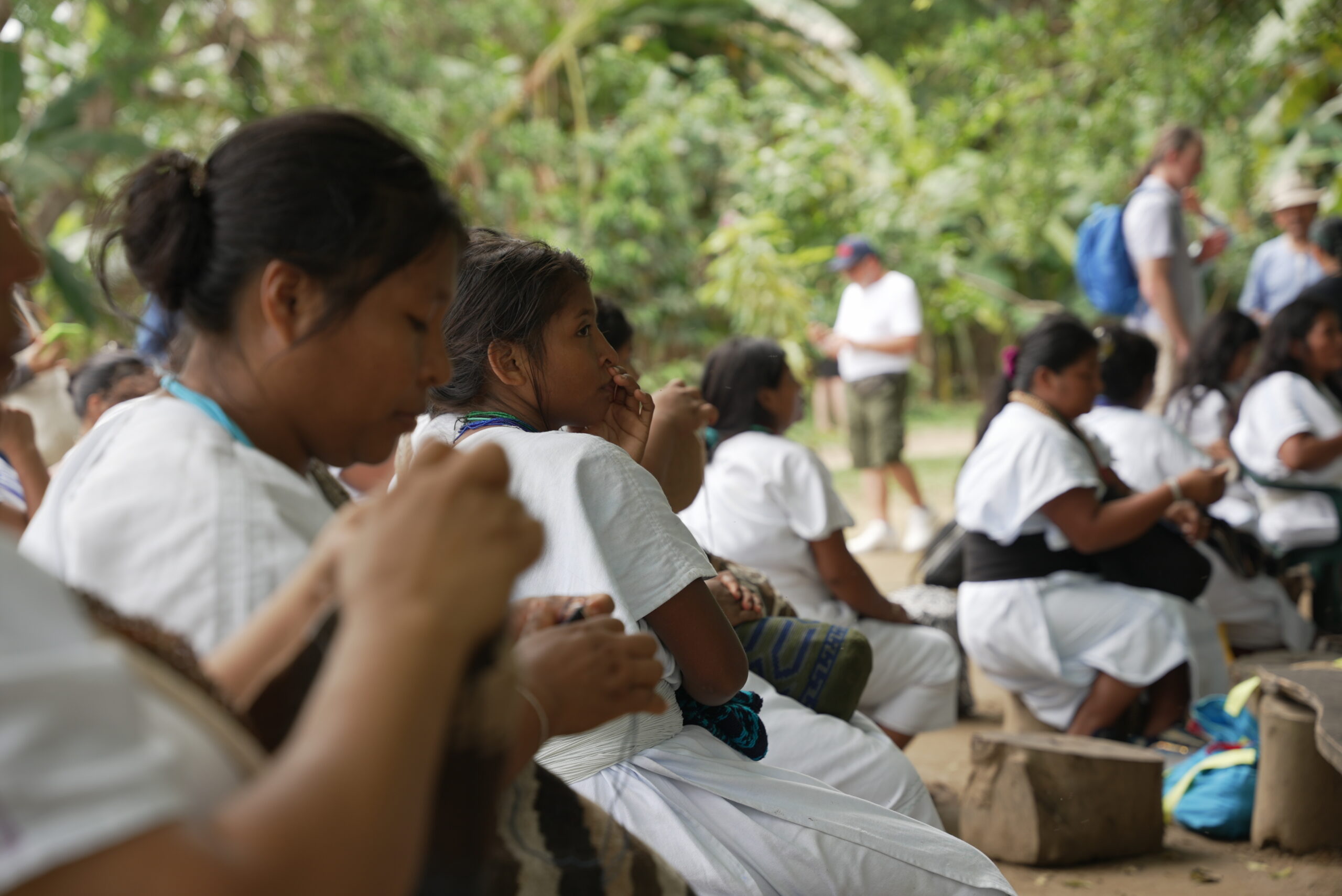
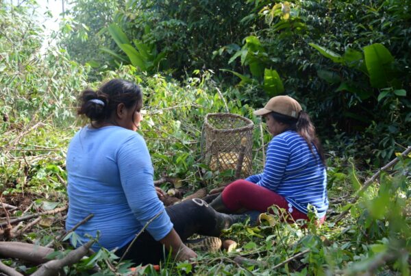
Caption: Mujeres del pueblo Arhuaco atendiendo una reunión en su territorio. Credit: Archivo de la Comisión Nacional de Territorios Indígenas
Monitoring carried out by Indigenous Peoples themselves
Over recent years, at the CNTI’s Indigenous Technical Secretariat (STI), we have developed our own information systems to monitor both territorial rights and the agreements reached with the Colombian Government. According to Camilo Niño Izquierdo, the CNTI’s Indigenous Technical Secretary, the development of these systems became necessary because state institutions do not guarantee the collection, production, access, use and management of information on territories and Indigenous Peoples as a fundamental right.
That is why we have developed four systems, which have played a crucial role in monitoring our territorial and human rights.
- The Agreement Monitoring System – SIMA
- The Indigenous Geographic Information System – SIG-I
- The System for Monitoring Applications for Legalisation – SIMOSOF
- The Information System on Socio-Political Violence against Indigenous Peoples – SIVOSPI.
These systems enable us to constantly monitor the area and the characteristics of the territories that have been granted title to, or for which title has been requested on behalf of Indigenous Peoples, and to identify violations of our human rights. They also enable us to identify delays in administrative processes, as well as grounds for the effective protection of territories, such as the identification of threats posed by the expansion of extractive projects or overlaps with other land-use designations, or between Indigenous territories and areas of importance for biodiversity conservation. For example, in 2023, based on the findings of our report on the violation of territorial rights and, having signed more than 14 agreements since 2019, we agreed with the national government on an inter-institutional roadmap aimed at the expansion, rehabilitation, acquisition and restitution of territorial rights for the Arhuaco de la Sierra, Businchama and Kogui Malayo Arhuaco reserves. The monitoring of this agreement and the findings of a new report , enabled us, in 2025, to mark the consolidation and sixth expansion of the Kogui Malayo Arhuaco Indigenous Reserve, which meant the protection of 3,610 new hectares within the reserve, which now covers a total area of 411,940 hectares.
“Information systems play a vital role here in highlighting the ecological and environmental significance, the territorial significance, the threats faced by these Indigenous Peoples in relation to their territories and, of course, the opportunities and challenges facing these territories.”
Camilo Niño Izquierdo
Decree 1500, or the ‘Black Line’ decree, was annulled in February 2026 by the Council of State on the grounds of procedural irregularities. In May 2026, Decree 514 was issued, re-establishing the recognition of ancestral territory and strengthening these safeguards. This new framework reaffirms that the protection of the Black Line cannot be reduced to a cartographic demarcation, but must guarantee the effective exercise of the territorial, cultural and spiritual rights of the four peoples of the Sierra Nevada de Santa Marta and their participation in decisions affecting their ancestral territory.