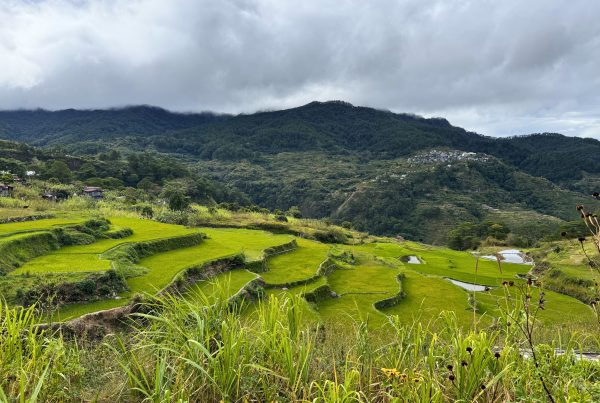
The Wapichan people live in the South Rupununi District of Guyana. The “Wapichan wiizi” (territory) is home to many animals, reptiles, plants, insects, birds, fishes and other water creatures, many of which are globally rare or endangered.1
The Wapichan territory contains many important cultural heritage sites for the communities, where stone axes, arrow heads, beads, pottery and rock carvings and burial grounds are found. The Wapichan have compiled a plan for the sustainable community-based use and development of their ancestral territory, which covers about 2.8 million hectares, for the benefit of present and future generations.2 The plan describes the multiple services, values and meanings that the territory provides. For instance, respect for spirit beings and their homes is essential for the wellbeing of the communities and the health and abundance of the fishes and game. The territorial management plan sets out common principles, goals, and customary laws on the responsible use of the land, forest, mountain, grassland and wetland ecosystems. It includes more than one hundred inter-community agreements on collective actions for sustainable land use, customary sharing of resources, community development and livelihood initiatives. It also details hundreds of local wildlife sites for community protection, including proposals to establish an extensive 1.4 million hectare Wapichan Conserved Forest covering old-growth rainforest in the eastern part of the territory.
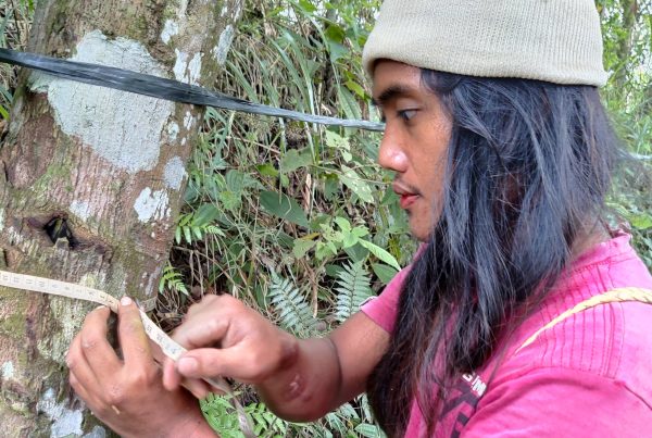
Securing the Wapichan territory by obtaining its legal recognition is a major goal for the Wapichan and a prerequisite for fully realising and implementing their plans. The existing land titles are fragmented and do not cover the full extent of the areas traditionally used and occupied by the Wapichan people. Further the Wapichan territory is facing serious external pressures from illegal mining, cattle rustling, logging and encroachment from commercial hunting. To address these, the Wapichan have developed a community-based system to detect and document such pressures as well as to monitor ecosystem health (for example water quality) and land use change.3 4
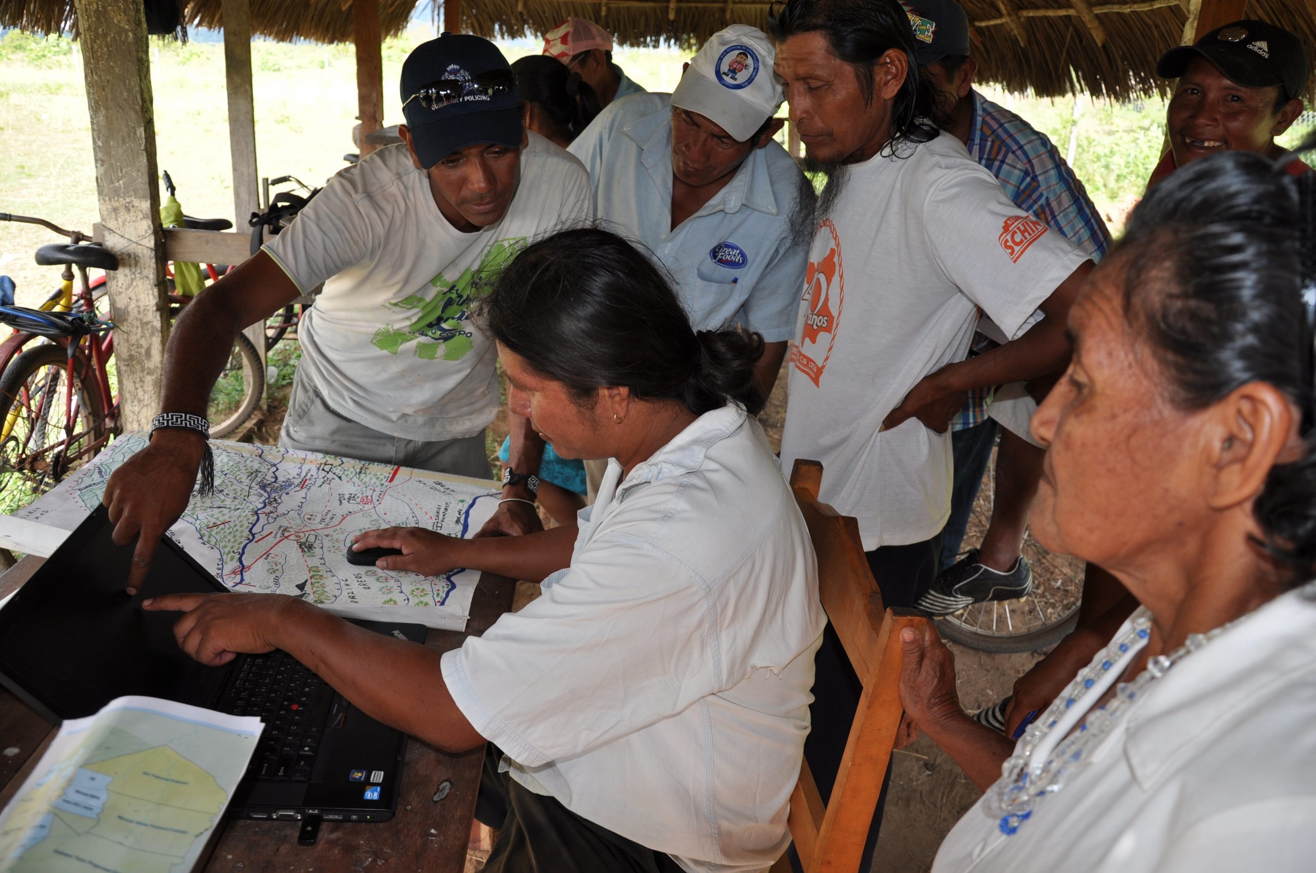
The Wapichan have initiated active dialogue with relevant government departments, agencies and commissions to explain their plans for continued community-based care of their ancestral areas. The Wapichan use their own maps and photographic and geo-referenced information, and data on traditional use of the land, to support their land claims and to point out where the tenure gaps are. These initiatives have led to formal talks between the communities and the government about actions to secure their land and forests legally, and to prevent and suspend industrial logging and mining concessions on Wapichan land.
Image caption: Wapichan community mapping employed GPS technology to map land use and forest sites. Courtesy Tom Griffiths, FPP
Author
- South Central Peoples’ Development Association (SCPDA)
Ecosystems
- Tropical forests
Topics
- Mapping and monitoring
Type
- Short-form
Date
- This case study forms part of LBO-1, originally released in 2016.
References
- E.g. kitanaaru (jaguar), saaro (giant river otter), wichaa waru (bush dog), crested eagle, kawanaru (cock-of-the-rock), udaru’o kokoi (harpy eagle) and dyuwudan uzu (red siskin)
- Council, D. T. Thinking Together for Those Coming Behind Us: An outline plan for the care of Wapichan territory in Guyana. (2012). at <http://www.forestpeoples.org/topics/customary-sustainable-use/publication/2012/wapichan-people-guyana-make-community-based-agreem>
- Farhan Ferrari, M., de Jong, C. & Belohrad, V. S. Community-based monitoring and information systems (CBMIS) in the context of the Convention on Biological Diversity (CBD). Biodiversity 1–12 (2015). doi:10.1080/14888386.2015.1074111
- MacLennan, G. We built a drone. (2014). at <https://www.digital-democracy.org/blog/we-built-a-drone/>