

Across Africa’s rangelands, Indigenous pastoralist communities are advancing new approaches to conservation that centre rights, culture, and lived relationships with land. In Kenya’s Mid-Ewaso Ng’iro River Basin, the Turkana community of Ngaremara offers a compelling example of how Indigenous-led data and governance systems can strengthen land tenure security while supporting biodiversity conservation.
Through the Inclusive Conservation Initiative (ICI), locally known as Ayuokor in the Turkana dialect, the Ngaremara community, supported by IMPACT Kenya, is working to advance historical land claims, restore access to culturally significant territories, and reframe conservation as a rights-based, community-driven practice. The ICI works with pastoralist communities to revitalise Indigenous and Traditional Knowledge (ITK) systems and strengthen community self-organisation in the face of longstanding dispossession, exclusionary conservation models, and growing pressure from militarisation and large-scale development.
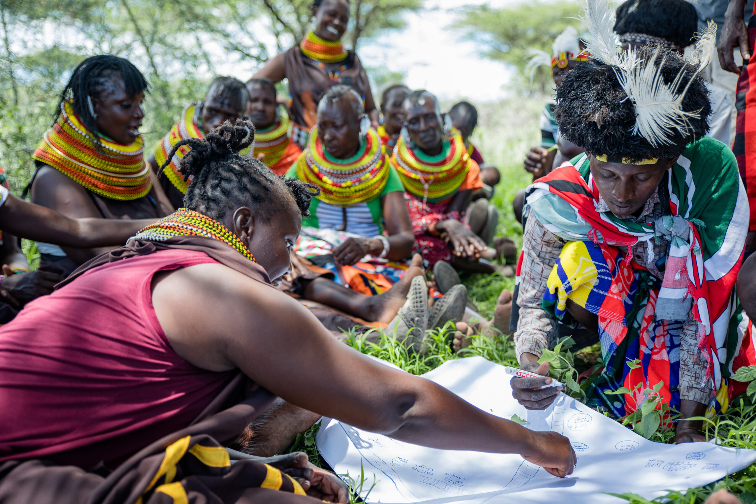
In Ngaremara, this support has focused on the co-creation of biocultural maps and calendars, community-based monitoring and information systems (CBMIS), and other Indigenous knowledge-based tools that document historical presence, land use, and stewardship.
This case study centres Ngaremara as a living, evolving situation rather than a closed historical account. It deliberately includes past and present to show how historical injustices have shaped current land struggles – and how biocultural data systems are now enabling the community to translate memory, knowledge, and governance into legally and politically admissible evidence. The Ngaremara experience demonstrates that inclusive conservation is not an abstract principle, but a practical pathway for securing land rights, protecting biodiversity, and restoring dignity and agency to Indigenous communities.
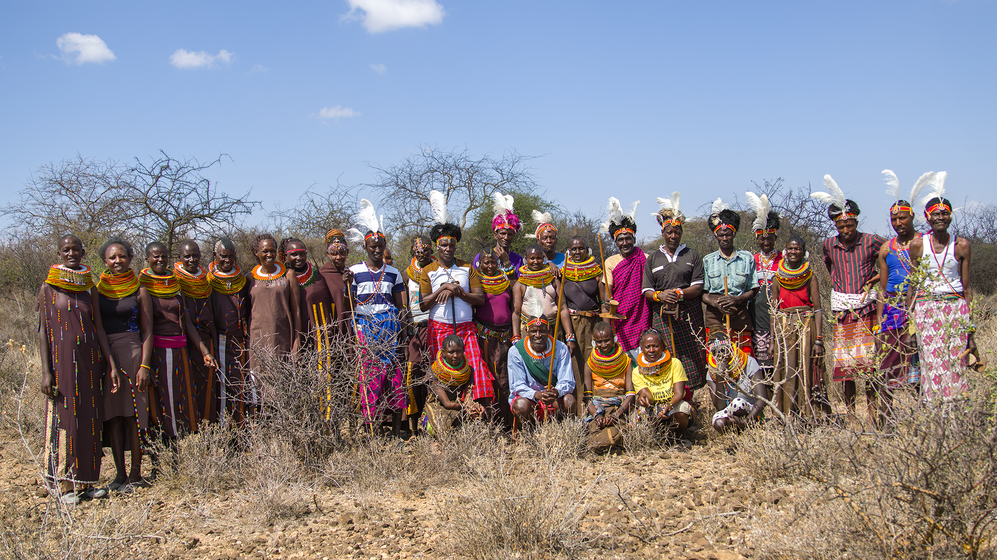
Image: Ngaremara community members at one of the important cultural sites on recently reinstated land. Credit: IMPACT Kenya
Ngaremara before dispossession: Turkana presence and stewardship
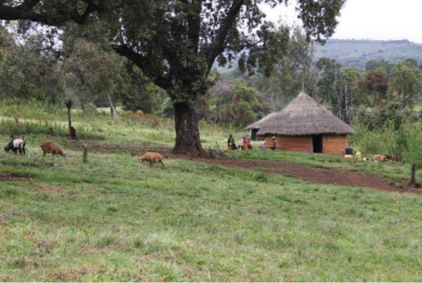
The Turkana community of Ngaremara, located in present day Isiolo County, traces its presence in the area to the early 1930s. Elders recount that their forefathers migrated primarily from Baragoi around 1934, settling in what was then an open rangeland occupied only by wildlife and other Turkana groups. Place names across the landscape reflect this long history of occupation, often linked to significant events, seasons, or respected elders.
“We have lived here even before the game parks around us were established,” one elder explained. “Some locations are named after key events or seasons such as ‘Logetei,’ which is named after an elder who lived and died there.”
For generations, land, water, and grazing areas were governed through customary institutions that regulated access, protected dry season grazing reserves, and ensured coexistence with wildlife. These governance systems were not static; they evolved in response to climate variability, mobility needs, and social relations. Elders note that several generations have now been born and raised in Ngaremara, underscoring continuous occupation and stewardship over nearly a century.
This history of land use and governance is central to the community’s contemporary claims. It establishes Ngaremara not as a transient settlement, but as an Indigenous territory shaped by intergenerational knowledge, cultural practice, and responsibility for the landscape.
Dispossession, militarisation, and conservation exclusion
The stability of Turkana life in Ngaremara was first disrupted in the mid-1960s through processes of state-led conservation and military interventions. In February 1964, the Isiolo County Council and Administration Police forcibly evicted families to pave the way for the establishment of Buffalo Springs National Reserve. This marked the first major displacement, where some families migrated in dispersed groups and settled in surrounding areas such as Chokaa/Ngauyei Emunyen Akwaan, Nakuprat, Attan, Etungait; while others migrated to Laikipia, Baragoi and the outskirts of Isiolo town.
A second displacement occurred in 1966 when the National Youth Service (NYS) arrived in Chokaa/Ngauyei Emunyen Akwaan and set up camp, occupying approximately five acres of land. The NYS settling was part of their civil works, including construction of a bridge along the old Ngaremara road and culverts along the dusty Marsabit-Moyale highway. Thereafter, the Ministry of Public works followed from 1969-1972 to complete the highway.
In 1977, the Kenya Defence Forces (KDF) arrived at the same site, initially requesting temporary use of land for training purposes. Elders consented in good faith, allocating a limited area for short-term use. In practice, however, the site was used for heavy artillery shooting exercises, and over the years, multiple military battalions occupied the area in increasing numbers.
In 1987, senior military officers requested formal allocation of land, leading to the establishment of the School of Military Engineers (SOME). Despite agreed boundaries, the military gradually expanded its boundaries to approximately 51 acres, including ancestral burial sites. In 2024, the military took over an additional 18,000 hectares, triggering renewed disputes and community resistance. As one community leader noted, “That is when the current wrangles began.”
These processes reflect broader patterns of fortress conservation, militarisation, and the marginalisation of pastoralist land use systems, where Indigenous stewardship is erased, and communities are portrayed as obstacles to conservation and development.
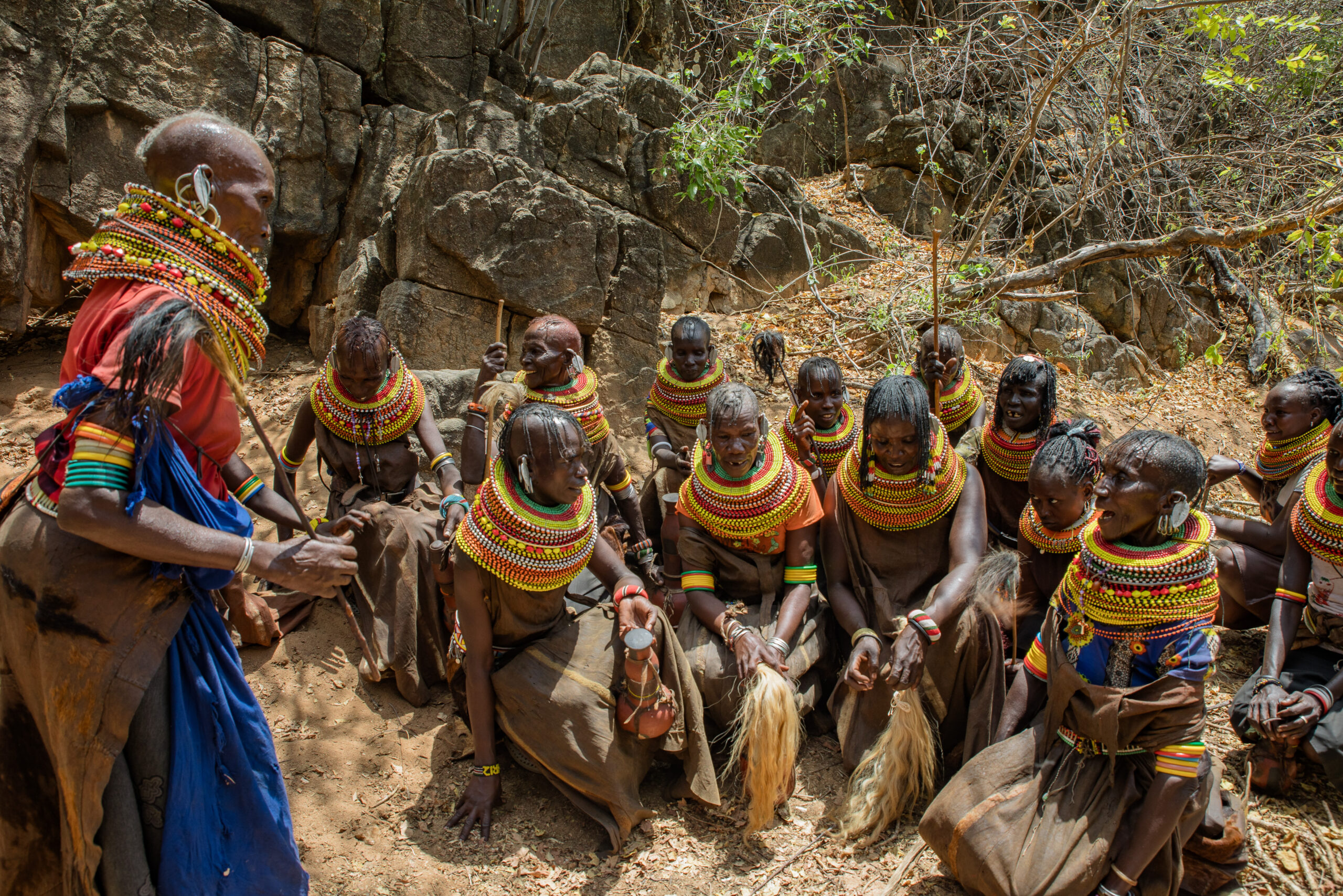
Image: The women of Ngaremara during a traditional ritual. Credit: Nomad Footprints
Changing land tenure and the struggle for recognition
Alongside physical dispossession, shifts in Kenya’s land tenure regimes further complicated Ngaremara’s claims. Prior to the 1960s, land in pastoralist areas was largely governed through communal systems. In the late 1960s and 1970s, the group ranch model was introduced under the Land (Group Representatives) Act of 1968, aiming to formalise communal ownership through elected representatives. While intended to address resource sharing challenges, this model often failed to reflect pastoralist mobility and governance realities.
A major legal transition followed the promulgation of the Constitution of Kenya (2010) and the enactment of the Community Land Act (CLA) in 2016, which repealed the group ranch framework and required communities to register land as community land. In parallel, the National Land Commission (NLC) initiated a process for registering Historical Land Injustices (HLI) claims following the gazettement of regulations in 2017.
By the September 2021 deadline, 3,742 HLI claims had been filed nationally, including 27 from Isiolo County. Ngaremara alone recorded four claims, relating to land lost to Buffalo Springs National Reserve, Sarova Shaba National Reserve, SOME, and the KDF. Despite engaging formal legal processes, the community encountered limited institutional support. Competing investment interests, megaprojects such as LAPSSET, and the complex ethnic politics of Isiolo County further constrained progress.
This context highlighted a critical gap: while legal frameworks existed, communities lacked the forms of evidence and documentation required to substantiate Indigenous land histories in state and judicial systems.
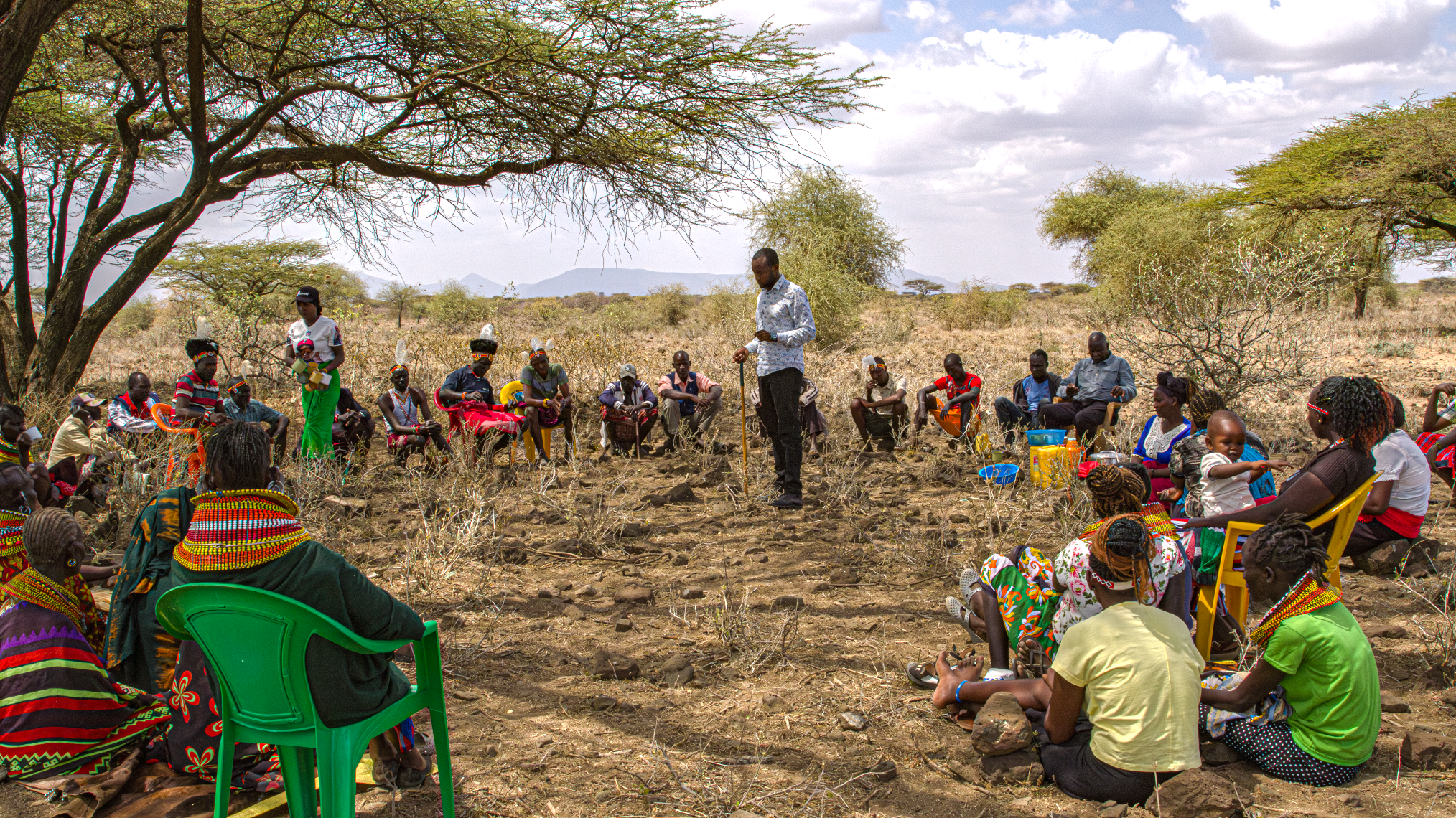
Image: Community meetings during the consultation and consent seeking for the LBO-3 case study. Credit: IMPACT Kenya
What is being done now
It is against this backdrop that IMPACT Kenya began working with the Ngaremara community in 2023 through the Inclusive Conservation Initiative (ICI). A central pillar of this work has been the development of biocultural data systems, locally governed repositories of ecological, cultural, and historical knowledge.
Through participatory processes involving elders, women, and youth, the community co-created biocultural maps documenting both their past and present relationships to land, illustrating changes over time in settlement patterns, biocultural resources, grazing areas, sacred sites, seasonal movements, and ancestral relationships to their territories.
The process entails prior consultations, capacity building and consent seeking, followed by the selection of community representatives through inclusive and participatory criteria. This includes elders, Indigenous knowledge holders, leaders and local authorities, women, youth and persons with disabilities. Thereafter the process is implemented through narrations and storytelling where the elders narrate while youth draw on paper; hence referred to as “memory-maps”, using culturally relevant languages and symbols. To ensure inclusivity and that all knowledge is valued, both men and women work separately to develop both past and present biocultural maps.
Thereafter, the four maps are validated and combined through discussions to come up with two maps (a past and a present map), and thus followed by real-time translation of the sketches into digital maps through QGIS mapping software. These maps are ground-truthed using existing satellite imagery and fully digitised and endorsed by communities through further validations.
In this way, the maps are able to evidence the existence of communities, as well as show trends in tenure rights.
These maps were complemented by seasonal biocultural calendars, oral histories, and evidence-based research, enabling the community to mobilise ITK to strengthen self-organisation, land governance, and resource management.
As one woman explained, “Through this project, we learned about our land rights and the importance of Indigenous knowledge systems in protecting and defending our land.”
The process was not only technical but deeply restorative. “The maps brought back our memories of how we used to live and protect our land,” another community member noted. “They reminded us of the very important areas we lost, and this awakened our determination to fight for what is ours.”
Historically, as explained by the community, customary leadership was highly respected, youth and elders would have conversations in form of barazas (public meetings), for either information-sharing on decisions for resource use, sharing and governance as well as knowledge transfer, but over the years, elders have lost their position and power, attributed to many factors such as education, technology, political factors etc., that have long affected the relationships.
During the ICI project co-design phase with communities, those were the key issues identified i.e., loss of community social fabric, as well as weakened ITK systems. As highlighted by the community, some of the negative impacts are that the youth began to sell tracts of community-owned land to politicians for political buy-in without consulting elders.
The project has since worked to revitalise these customary relations and leadership, by providing more inclusive platforms for dialogues and engagements, as well as capacity building on the need for rebuilding intergenerational relationships through Indigenous and Traditional Knowledge systems.
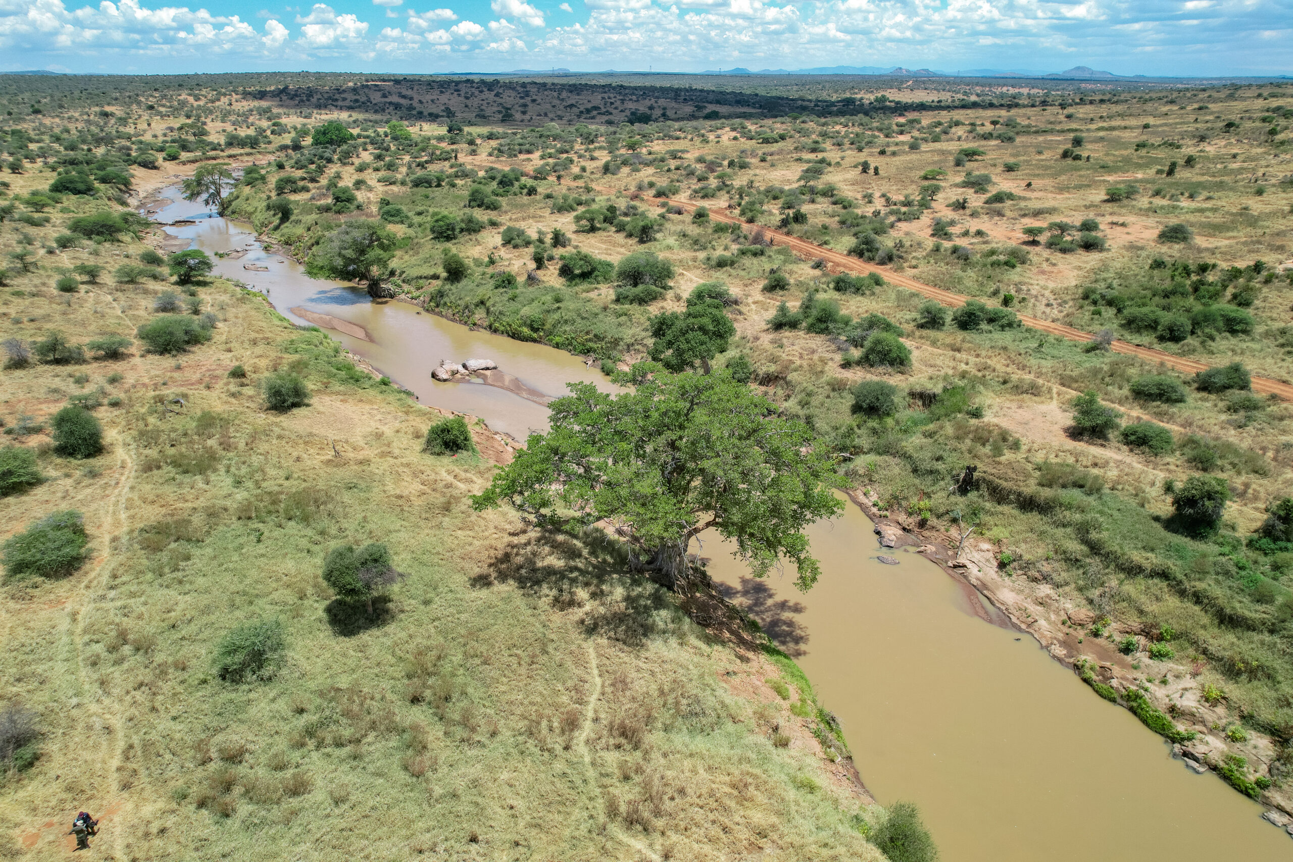
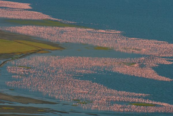
Image: The Ewaso Ng’iro River Basin. Credit: Nomad Footprints
Community-based data as a tool for securing land rights
During a recent HLI ruling, the Ngaremara community presented both historical and contemporary biocultural maps as evidence. Among all HLI cases in Isiolo County, Ngaremara’s stood out for achieving a breakthrough outcome. The maps provided credible, place-based evidence of longstanding occupation, governance, and biodiversity stewardship, bridging ITK and legal recognition in ways previously unavailable to the community.
As a result, Ngaremara has regained access to culturally significant areas, including ritual sites (udongo ya wasichana) and ancestral burial grounds. The case illustrates how biocultural data systems can translate Indigenous memory into enforceable rights, while reinforcing conservation rooted in cultural continuity and self-determination.
Outcomes and significance: beyond Ngaremara
The Ngaremara experience highlights the transformative potential of Indigenous-led conservation when supported by inclusive data and governance systems. Beyond securing partial restitution through HLI rulings, the process has strengthened community cohesion, revived governance institutions, and reasserted the legitimacy of pastoralist stewardship in conservation discourse.
More broadly, the case demonstrates that recognising Indigenous data sovereignty is not only a matter of justice, but a practical strategy for achieving lasting conservation outcomes. When communities control how their knowledge is documented, governed, and used, conservation becomes a lived practice grounded in responsibility rather than exclusion.
As pressures from militarisation, conservation expansion, and large-scale development continue across the Mid-Ewaso Ng’iro Basin, the lessons from Ngaremara are increasingly relevant. Inclusive, rights-based approaches, anchored in biocultural data systems, offer a pathway to secure land tenure, protect biodiversity, and restore dignity and agency to the communities that have sustained these landscapes for generations.