This short film explores how the Ogiek of Mount Elgon, Kenya are using mapping technology to protect their lands.
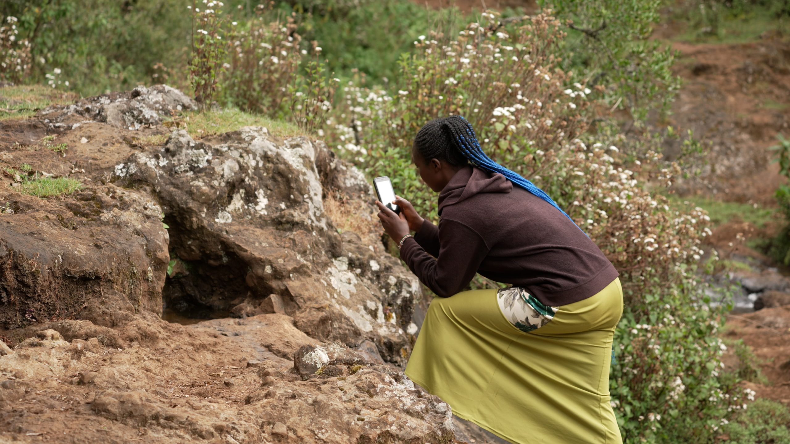
The Ogiek peoples have been victim to multiple evictions from their ancestral lands that were carried out in the name of conservation. Through community mapping projects, the Ogiek have gathered data that proves that their land belongs to them, and show that they are the best-placed to conserve and sustainably use the animal and plant biodiversity on their land.

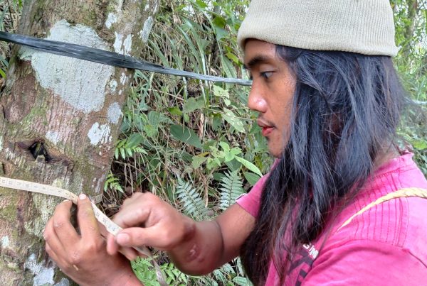
Mapping the land using GPS tools. Credit: Lewis Davies
Author
- Forest Peoples Programme
Ecosystems
- Tropical forests
Topics
- Land rights and tenure
- Mapping and monitoring
Type
- Film
Date
- This case study is part of the 2021-2022 LBO digital storytelling project