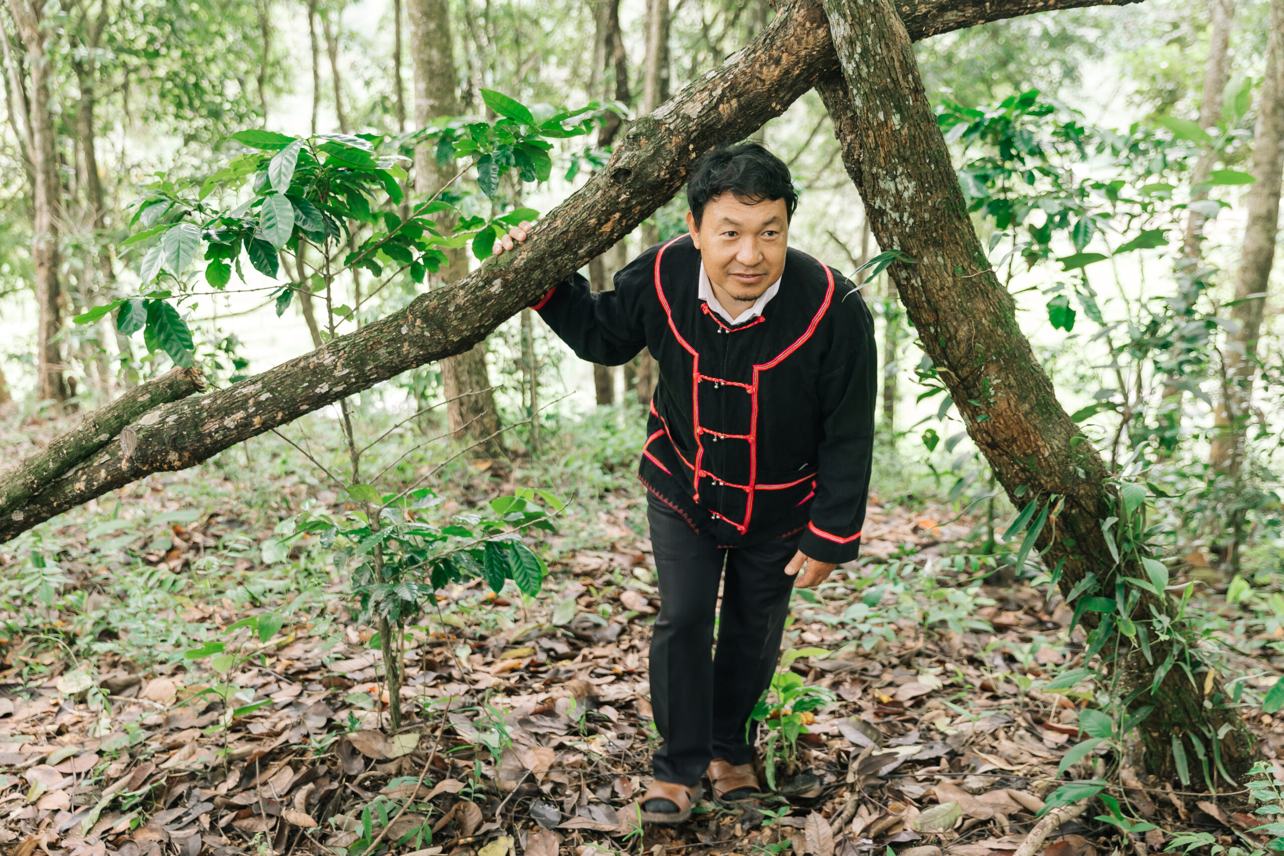

In the mountainous landscapes of Thako Subdistrict, nestled within the forested highlands of Chiang Rai Province in northern Thailand, a single piece of land can exist under multiple realities at once.
Across its 387.5 square kilometers, Thako is overlaid by a complex mosaic of state-designated protected areas, including the Mae Lao Left Bank National Reserved Forest, Sri Lanna National Park, and Doi Luang National Park. At the same time, these lands are home to Indigenous Peoples and local communities whose settlements, farms, cultural sites, and livelihoods have existed across the landscape for generations.
For decades, the absence of clear recognition of community land use has produced uncertainty and conflict. Disputes have emerged not only between Indigenous communities and government agencies, but also among neighbouring villages and even within communities themselves. In a region inhabited by Karen, Lahu, Akha, and Yunnan Chinese communities, overlapping claims and unclear boundaries have often complicated efforts to strengthen local governance and sustainable resource management.
Today, however, communities in the Mae Tam watershed are demonstrating how participatory land documentation can become a powerful tool for conflict prevention, environmental stewardship, and Indigenous self-determination.
Norrarit Rakkaona, a Lahu community leader and village head of Huai Chomphu, recalls that land disputes dominated his early years in office.
“During my first two years as village head, most of my time was spent mediating conflicts between villagers,” he explained. “One household would accuse another of planting maize beyond agreed boundaries. Others would claim ownership of the same plot of land. Without any evidence or shared understanding of land use, these disputes became a major source of tension within the community.”
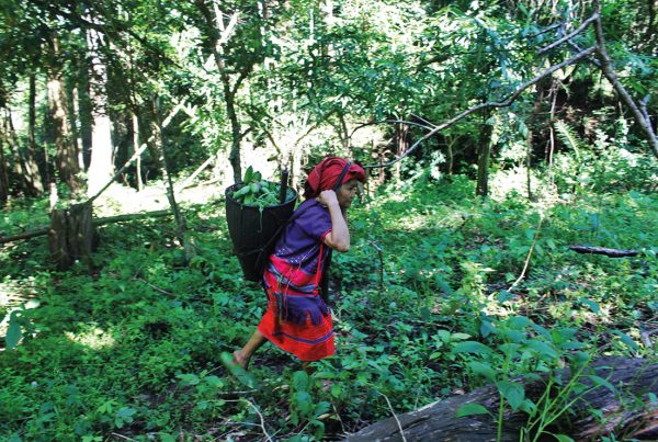
The consequences extended beyond local disagreements. For many Indigenous farmers, cultivating land located within overlapping conservation zones created a persistent sense of insecurity.
Akha farmer Pikul Yebiang remembers working under constant fear that crops could be destroyed or confiscated if authorities deemed cultivation to be within protected areas.
“We farmed without peace of mind,” she said. “People worried all the time. Sometimes crops were nearly ready for harvest when enforcement actions happened. Women were especially concerned when working alone in the fields. We were genuinely afraid.”
Such experiences are common across many Indigenous territories in Thailand, where conservation policies often overlap with long-established community lands without providing effective mechanisms for recognising customary land use.
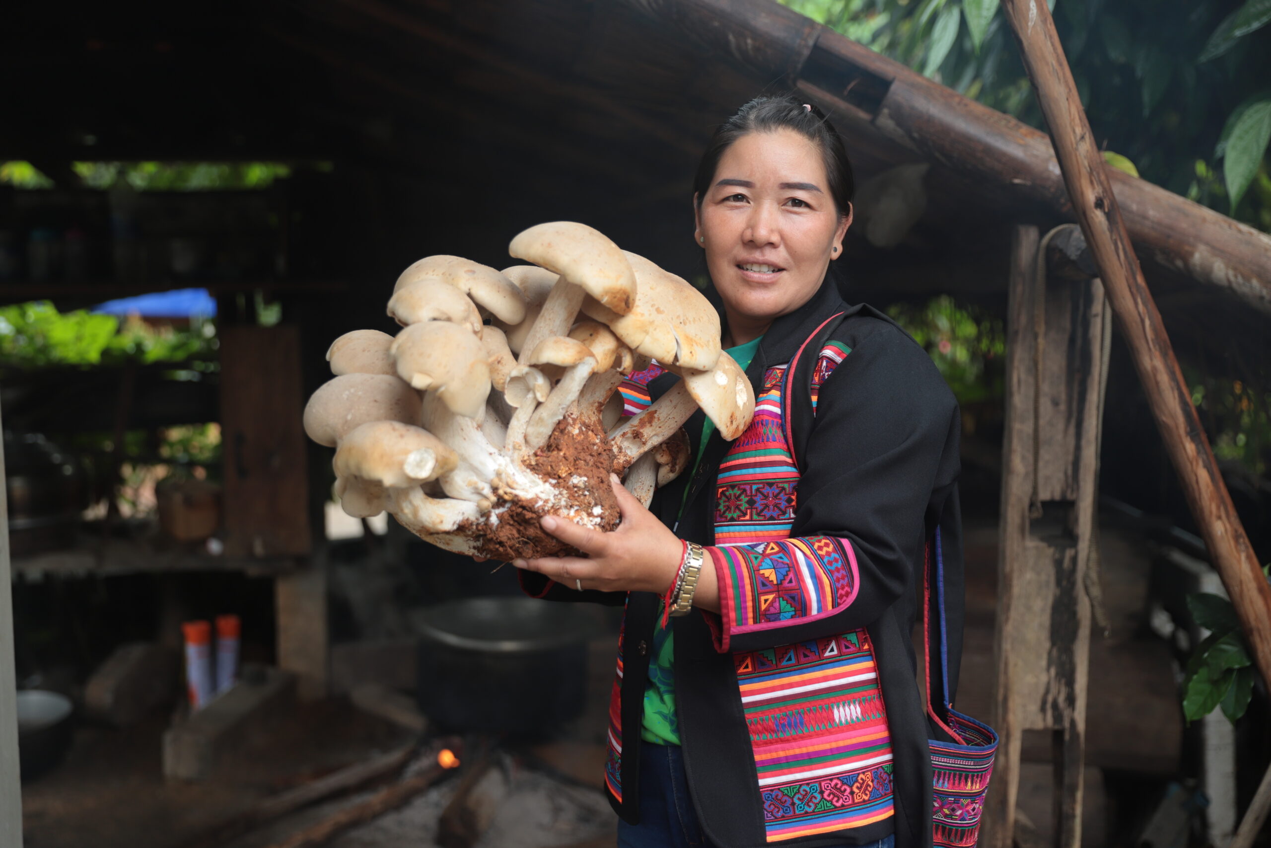
Caption: Pikul Yebiang, Akha Indigenous woman. Credit: Rfu Bracher, Indigenous Media Network (IMN).
Building a community-based land governance system
Faced with these challenges, ten Indigenous villages in the Mae Tam watershed decided to take action.
Working in partnership with local government authorities and civil society organisations, community members initiated a participatory process to document land-use histories and establish a community land-use documentation system.
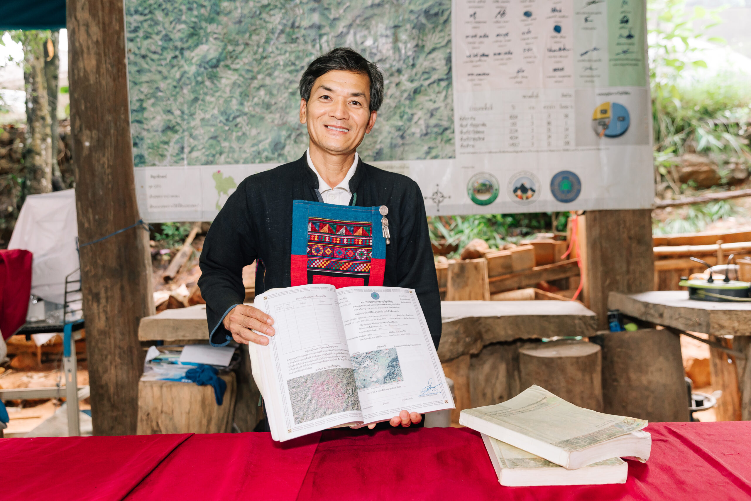
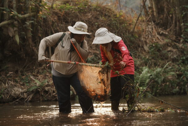
The process began not with technology but with dialogue. Villagers gathered to discuss shared concerns, identify objectives, and build consensus. Community committees were then established to conduct field surveys, walking plot boundaries alongside land users and documenting local knowledge about land use and resource management.
The information collected on the ground was subsequently integrated with Geographic Information System (GIS) technology to create detailed community maps. These maps identified conservation forests, cultural and ceremonial forests, community-use forests, agricultural lands, and settlement areas.
Importantly, all information underwent validation through village assemblies before individual plots were surveyed. Landholders participated directly in the process alongside village leaders, watershed committee representatives, and local administrative officials, ensuring that boundaries were collectively verified and cross-checked against satellite imagery.
The result was not a legal land title. Community leaders understood from the outset that the documentation would not grant formal ownership rights under Thai law.
Nevertheless, they recognised that documentation itself carries power.
To date, 4,346 community land-use documentation certificates have been issued across the ten participating villages.
While community land-use documentation remains outside Thailand’s formal land tenure system, its practical impacts have been substantial.
According to Santikul Juepa, Deputy Chief Executive of the Thako Subdistrict Administrative Organisation, the initiative has improved both local governance and disaster preparedness.
“Local authorities have benefitted enormously from this process,” he explained. “Community land-use documentation and mapping help prevent the expansion of agricultural boundaries and reduce encroachment into sensitive areas. They also provide important information for monitoring environmental risks and planning responses to natural disasters. For the past three years, local authorities have used this information in a very concrete way to support development planning and problem-solving.”
Local authorities are now exploring the possibility of incorporating elements of the process into future local regulations, demonstrating how community-generated data can contribute to formal governance mechanisms.
For Huai Chomphu village, the most visible outcome has been the dramatic reduction in land disputes. Community leaders estimate that conflicts between households have fallen by approximately 95 percent since the introduction of community land-use documentation.
As families gained a clearer understanding of agreed land-use boundaries, many of the recurring disputes that once consumed village leadership largely disappeared. Although occasional disagreements still arise during intergenerational land transfers, such conflicts no longer represent a major obstacle to community cohesion.
The documentation has also generated economic benefits. Farmers now possess verified information regarding plot locations and land-use details, making it easier to register agricultural production and apply for certification schemes and agricultural standards.
Even without formal legal recognition, the documentation has increased visibility, accountability, and legitimacy for community land management systems.
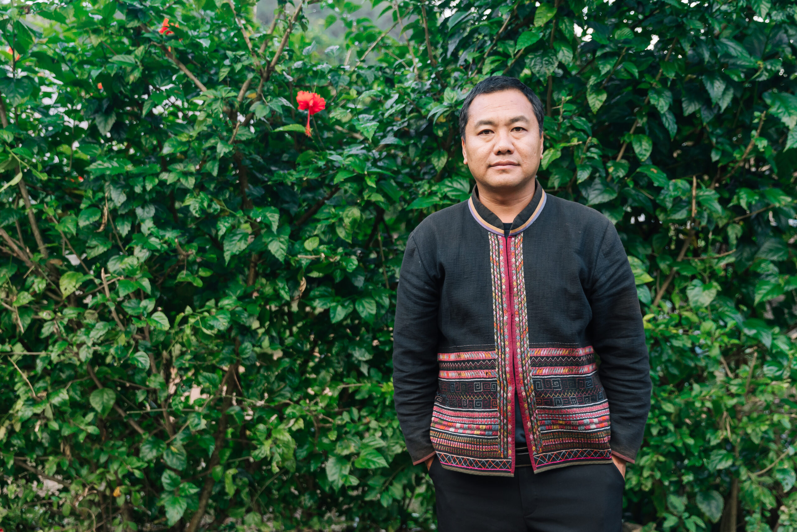
Caption: Santikul Juepa, Deputy Chief Executive of the Thako Subdistrict Administrative Organisation. Credit: Rfu Bracher, Indigenous Media Network (IMN).
Toward recognition of collective rights
For Indigenous communities in Thako Subdistrict, community land-use documentation represents something far greater than a technical mapping exercise.
It is an effort to redefine relationships between people, territory, and natural resources within landscapes where conservation policies continue to shape everyday life.
At a time when governments worldwide are searching for effective responses to biodiversity loss and climate change, the experience of the Mae Tam watershed offers an important lesson: sustainable resource governance is often strongest when communities themselves participate in defining, documenting, and managing the landscapes they depend upon.
The communities involved in this initiative hope that community land-use documentation can eventually contribute to broader solutions for unresolved land tenure issues. More importantly, they hope government agencies will recognise community-based management systems grounded in collective stewardship and collective rights.
Their aspiration is not merely for documentation to be acknowledged, but for state institutions to recognise the legitimacy of Indigenous and community-led governance systems that have long regulated the use and protection of natural resources.
The significance of this effort extends well beyond a single subdistrict in northern Thailand. It offers a practical model that other communities can adapt and demonstrates that Indigenous Peoples are not obstacles to conservation, but active partners in protecting ecosystems, responding to climate risks, and sustaining biodiversity.
Ultimately, the future of conservation in Indigenous territories may depend not on choosing between state authority and community governance, but on creating mechanisms through which both can work together.
Community land-use documentation and participatory mapping are not merely administrative tools. They are pathways toward reducing conflict, strengthening environmental stewardship, and advancing recognition of Indigenous collective rights and sustainable resource governance.
If Thailand is serious about advancing sustainable development while honouring the principles embodied in the United Nations Declaration on the Rights of Indigenous Peoples (UNDRIP), then initiatives such as those emerging from the Mae Tam watershed deserve not only recognition, but meaningful institutional support.
The next chapter unfolding in these highlands is therefore not solely the story of communities seeking security over their lands. It is also a demonstration of how Indigenous Peoples can contribute to climate resilience, biodiversity conservation, and sustainable development through systems of governance rooted in local knowledge and collective responsibility.
Supporting community land-use documentation and participatory mapping is ultimately about more than reducing disputes. It is about creating the conditions for meaningful co-governance between states and Indigenous communities—ensuring that ancestral lands, cultural traditions, and forest ecosystems can continue to thrive together for generations to come.